
|
A wonderful adventure with my brother, travelling along the eastern edge of the New England Tableland, introduced me to some wonderful back roads between the historic towns of Grafton and Glen Innes that are only accessible by four wheel drive. We travelled through a total of 7 National parks (Ramornie, Nymboida, Gilbraltar Range, Baroool, Guy Fawkes River, Chaelundi and the Nymboi-Binderay NP's) as well as several state forests and nature reserves all within a 120km radius as the crow flies.
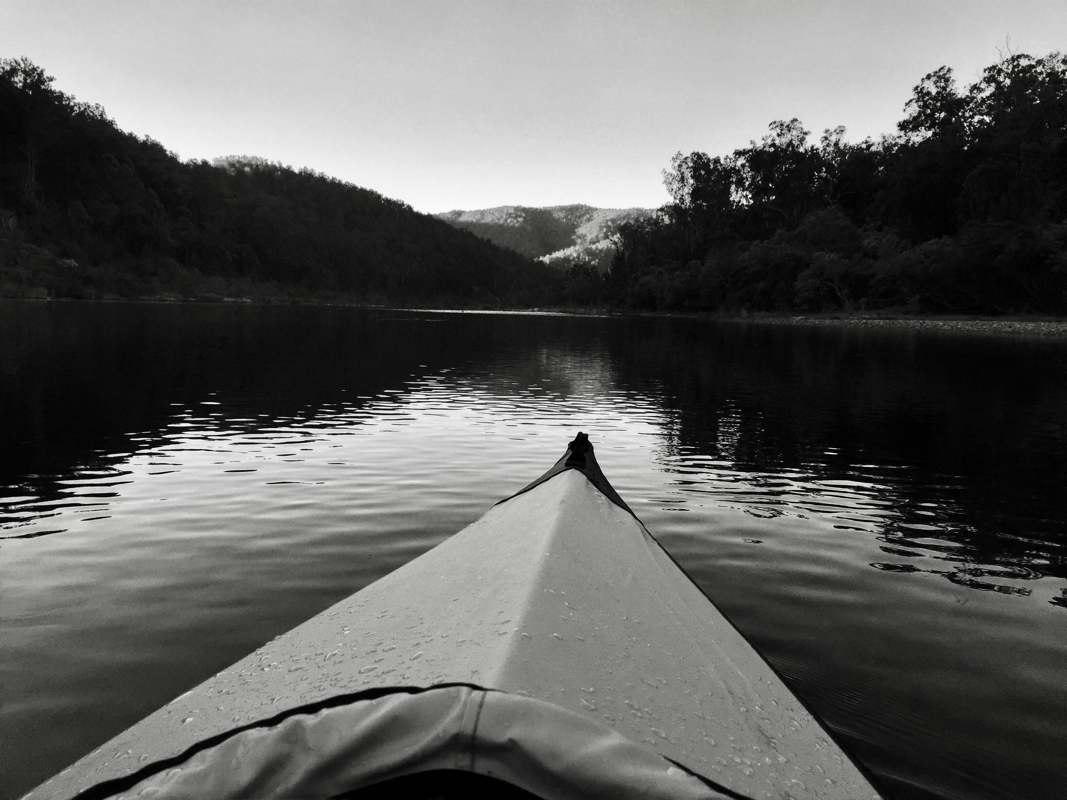
Kayaking along the Nymboida River The next day after camp pack up we headed back up the ridge to the Gwydir highway travelling through Washpool and Gibraltar Range National Parks with stops to check out the local flora and fauna as well as some breathtaking views looking South (photo below is from Rasberry Lookout). Thirty five kms east of Glen Innes we turned off to the historic old Grafton Glen Innes Road. 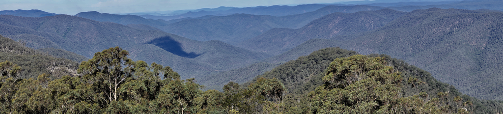 The view from Raspberry lookout
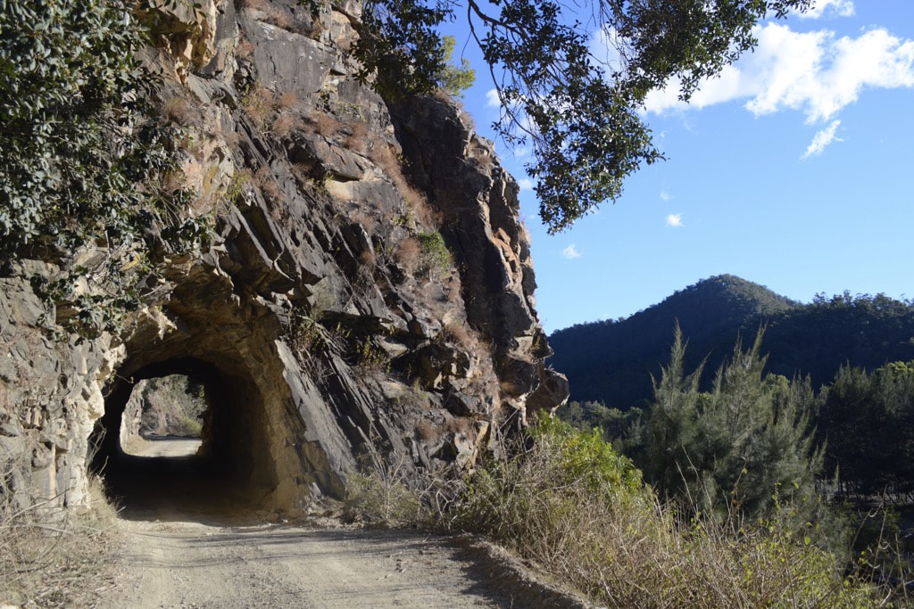
The Old Grafton Glen Innes RoadThe Grafton Glen Innes Road was built in the 1800's and until the Gwydir highway was built,more than 100 years later, it was the the only way to get from the tableland towns up high to the river port town of Grafton down below. It boggles the mind how difficult it must have been to build this narrow winding, oftentimes steep road, which for kilometres is hewn out of the rocky cliff face alongside the Boyd River. This engineering feat is most evident when you arrive at the historic tunnel, found not far from the deserted town of Dalmorton, which was hand cut through solid rock for 20 metres! The route has an amazing history, including being the scene of a number of hastily built towns to support the gold rush of the late 1800's, many of which are now deserted. Tales of some of our most notorious bushrangers can be found in the historical accounts of this area and travelling along the route you get a real sense of the incredible and time consuming journey it must have been for the drovers to transport their cattle down to Grafton for sale.
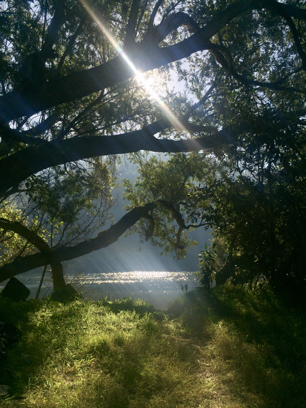
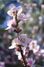
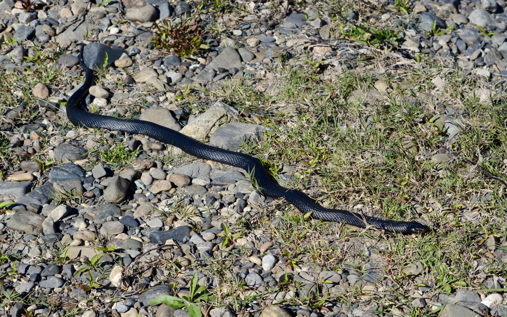
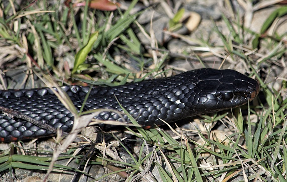
We set up an impromptu campsite on a pretty spot beside the Boyd River, not far from the rock tunnel, as the sun was starting to dip towards the horizon. Temps fell to minus 4 degrees that night so we were grateful to have ourselves a campfire. I woke up the next morning to fields full of Monarch butterflies, like something in a dream. Exploring along the riverbed the we almost tripped over a Red Bellied Black snake who was clearly also glad to be able to defrost itself on the warm stones in the sun!
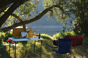
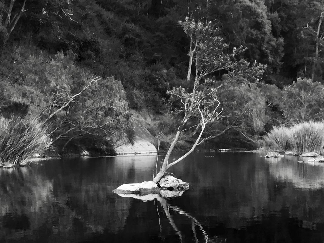
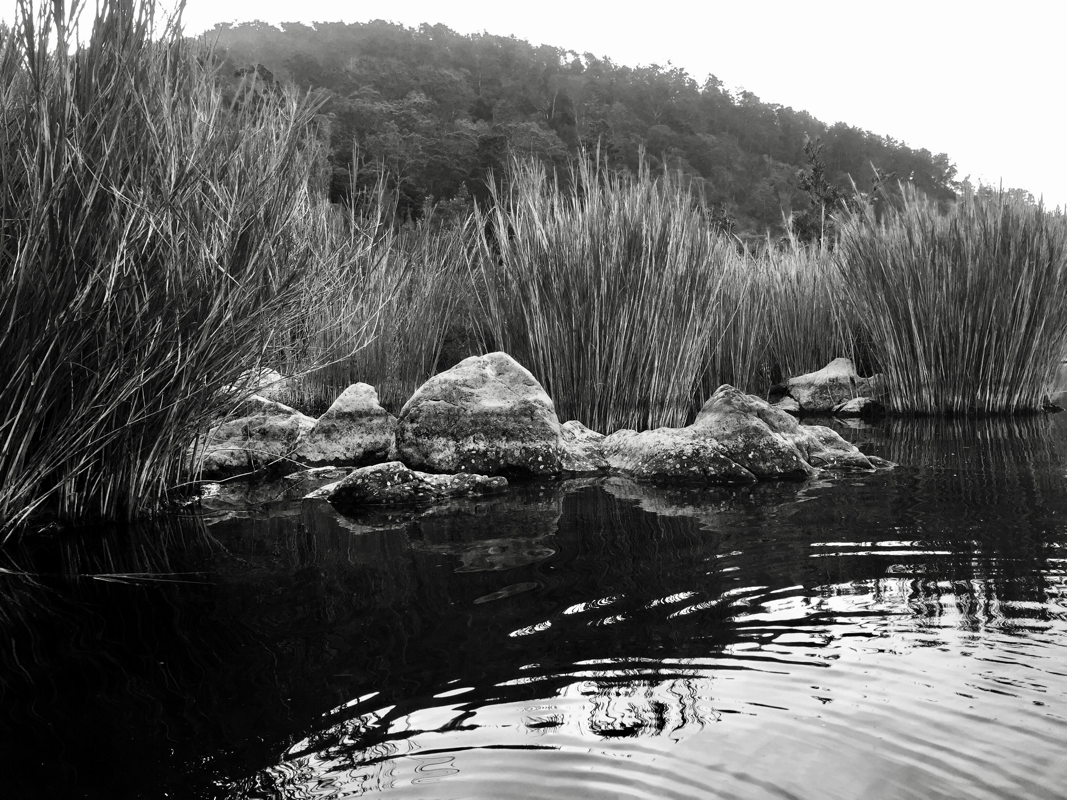
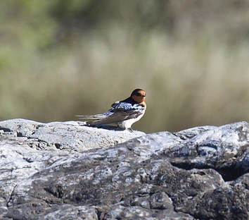
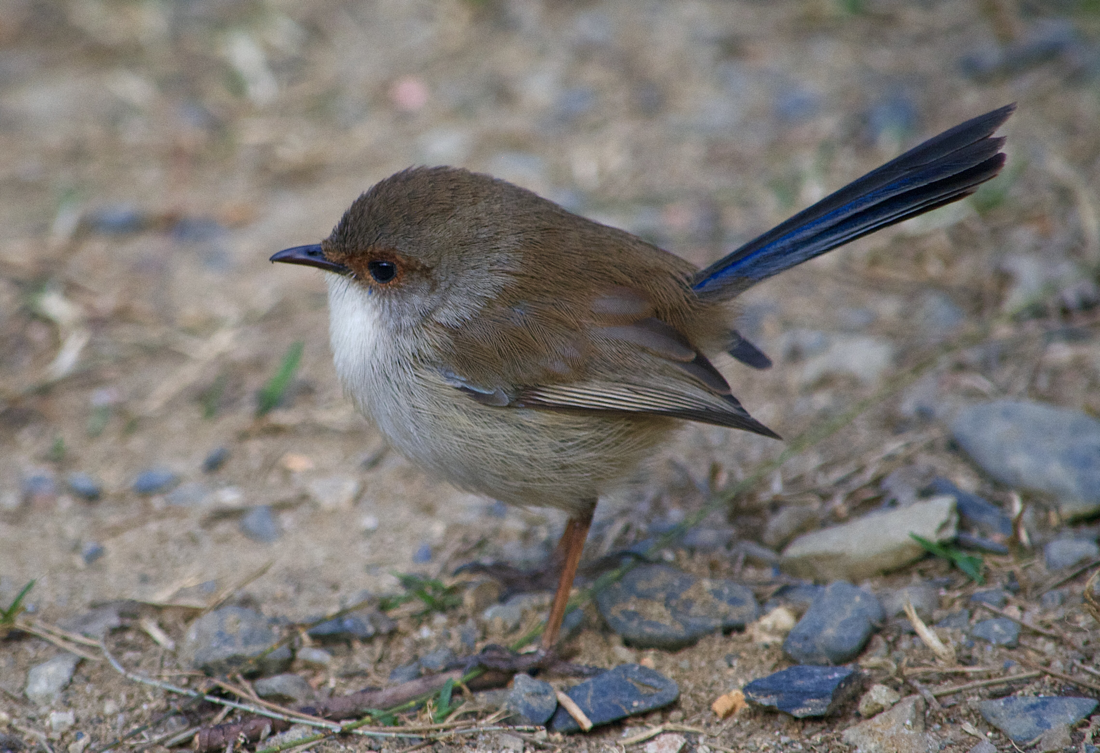
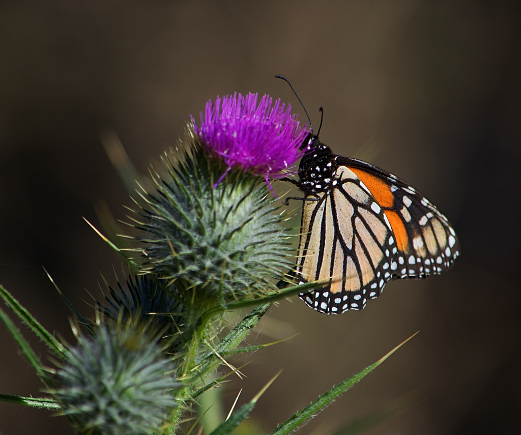 Monarch Butterfly on a black thistle The following day we turned off the road at Dalmorten after a quick investigation of the ghost town where we saw a creepy deserted small building with hooks hanging from the ceiling! This, I discovered later, was an abandoned butchers shop and was located not far from what looked like an old school house, all remnants of the old gold mining town. From Dalmorton we travelled along Chaelundi Road with Chaelundi National Park (famous for having the largest old growth forest in Northern NSW) to our left and Guy Fawkes NP to our right. We stopped for a short walk in Guy Fawkes NP along the Escarpment walking track to Chaelundi Falls where we encountered a very friendly male Superb Fairy Wren who seemed keen to show us the way along the path. The male Superb Fairy Wren Our final destination on the journey was Platypus Flat Campground in the Nymboi-Binderay NP near Dorrigo. Accessed via the Moonpar Forest drive, as its name suggests Platapus Flat it is a beautiful open area running alongside a lovely stretch of the Nymboida river. We enjoyed a lovely afternoon surrounded by abundant bird life, including more Superb Fairy Wrens, the Laughing Kookaburra, a Lewens Honeyeater, A Pied Cormorant, Grey Fantails and many more. It was a great way to finish off a very enjoyable trip through some truly stunning landscapes.
1 Comment
|
AuthorOwl Eyes AKA Nikki Archives
January 2020
Categories
All
|

 RSS Feed
